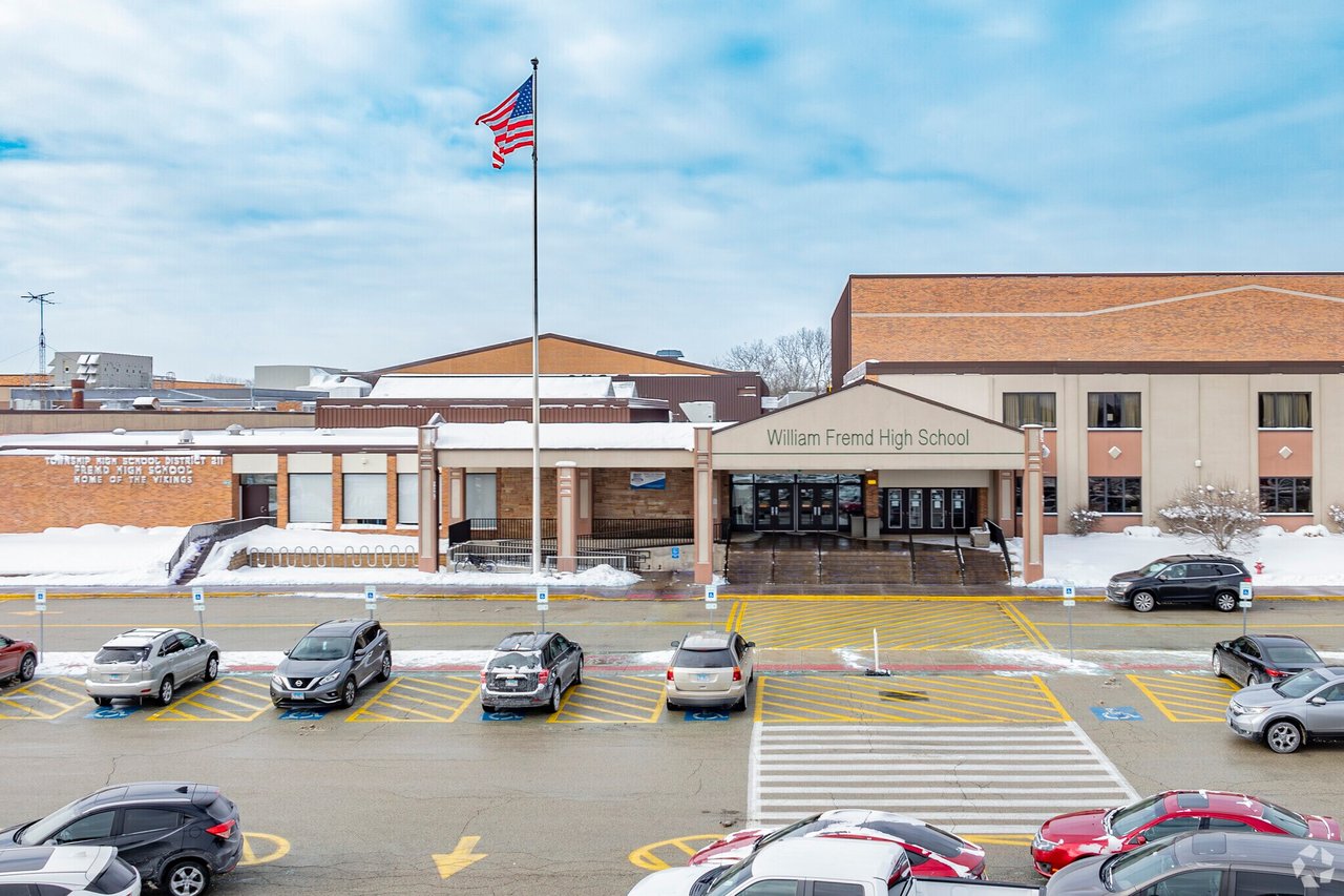
If you are buying a home because you want your child to attend William Fremd High School, the most important thing to know is this:
You need to verify the exact property address, not just the town name.
Fremd High School is located in Palatine and serves parts of Palatine, Inverness, Hoffman Estates, Rolling Meadows, and Schaumburg. But school boundaries do not always match city borders, ZIP codes, or mailing addresses.
That means a home with a Palatine address does not automatically mean Fremd. A home on one side of a street may feed into Fremd, while a home across the street may feed into Palatine High School or Conant High School.
Where to Check First
The safest place to start is the official Township High School District 211 boundary map. District 211 maintains maps showing the boundaries for all five of its high schools.
If the home is close to a boundary line, I would take one more step and call the District 211 administration office directly. Ask them to confirm the assigned high school for the specific address.
It only takes a few minutes, and it can save a lot of stress later.
Why This Matters
School boundaries in the Northwest Suburbs can feel like a puzzle. Palatine, Inverness, Rolling Meadows, Schaumburg, and Arlington Heights all have areas where school lines overlap in ways that may surprise buyers.
Third-party websites can be helpful for searching homes, but when school assignment is a major reason for your move, you do not want to rely on a guess.
What This Means for You
If Fremd is a must-have, make address verification part of your home search process before you write an offer.
That way, you can move forward with confidence knowing you have checked the official source.
FAQ
Does a Palatine address guarantee my child goes to Fremd High School?
No. Palatine is served by more than one high school, so you need to verify the exact address.
Can I trust Zillow or Redfin to show the correct high school?
Use those sites as a starting point only. Always confirm school boundaries through the official school district or district boundary map.